

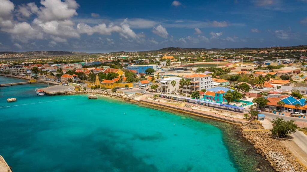
On Monday morning, Bonaire’s meteorological authorities issued another report regarding the weather being experienced in the Caribbean area due to Hurricane Beryl. Although this phenomenon is reaching Saint Vincent, the Dutch ABC islands are feeling the effects as well.
Bonaire’s meteorological authority issued a report providing some key data. They stated that there have been no significant changes in the forecast related to the tropical cyclone bulletin. The warning for Hurricane Beryl remains valid.
They indicated that the hurricane might pass as a major Category 4 hurricane 260 km (162 mi) north-northeast of Bonaire on Tuesday morning (07:00 AST). The risk of tropical storm-force winds in Bonaire remains very low (less than 10%). There is a risk of temporarily strong southwest winds on Tuesday.
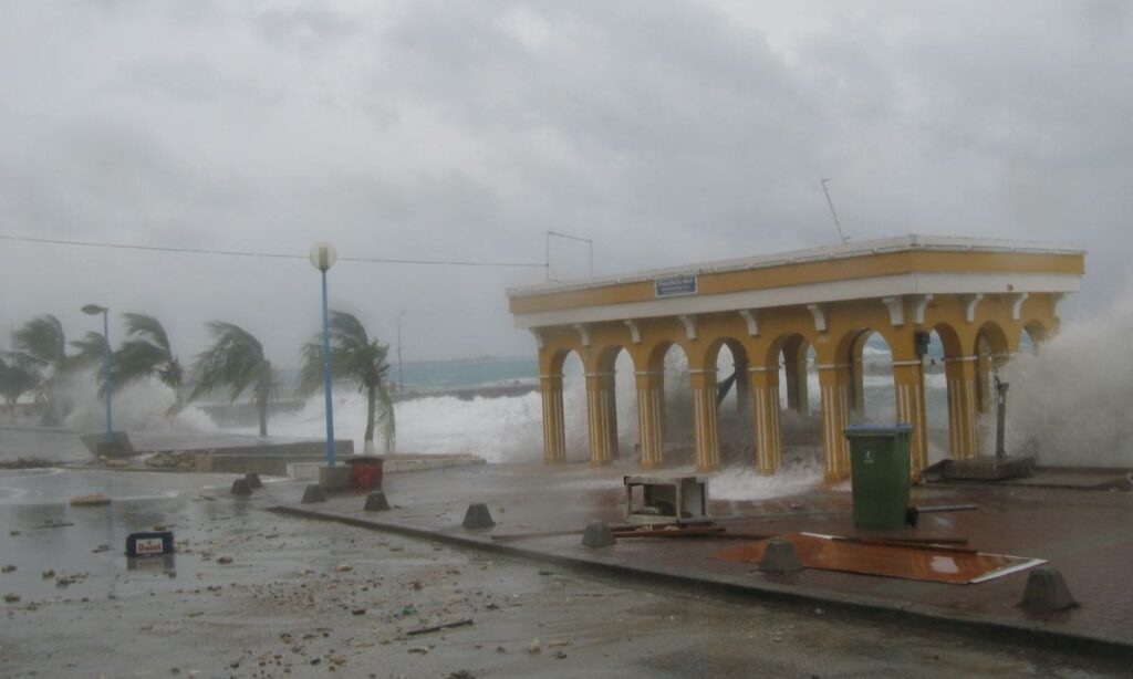
The seas could become rough starting Tuesday morning. Waves could come from the northwest on Wednesday. The estimated rainfall amount remains below 25 mm (1 inch), with a risk of bad weather.
Wind:
The risk of tropical storm-force winds in Bonaire remains very low (less than 10%). There is a risk of southwest winds on Tuesday morning and afternoon.
Sea:
The sea will become rough, with waves potentially reaching 8-10 feet starting Tuesday morning, mainly due to waves from the northeast. Wave heights will gradually decrease to 5-7 feet on Wednesday. On Wednesday, the waves will gradually decrease to 2-3 feet but may come from the northwest.
Rain:
Most showers and bad weather related to Hurricane Beryl are expected to remain north of Bonaire, but some may reach Bonaire tonight. The expected rainfall amount remains below 25 mm (1 inch). There is a risk of bad weather.
Local authorities and residents of Bonaire are advised to monitor the future progress of this weather system and take all necessary precautions to safeguard life and property.
ARUBA
Aruba’s meteorological service has not issued a weather bulletin for the press as of yet. According to the department’s website, the forecast for tonight is partly cloudy and dry. Meanwhile, tomorrow morning some showers are expected.
General weather situation for the next 24 hours: Persistent humidity in the region will cause some showers to develop locally during the next 24 hours.
Marine conditions/sea state: In protected coastal areas: calm, around 1 foot. In southern areas: calm to moderate, between 2 to 3 feet. In eastern to northwestern coastal areas: generally moderate with waves around 4 to 6 feet. During Monday night, the sea will start to become rough due to the proximity of Hurricane Beryl.
Warning/advisory:
A warning against small boats going out in eastern to northwestern areas will be in effect from Monday afternoon at 6 pm until further notice. In southern areas, caution is advised due to moderate swell, which could make these areas slightly rough locally.
Potential rainfall for the next 24 hours is 1 to 3 mm.


